· 7 min read
Mars has a blue sunrise and cliffs scientists have waited years to reach.
NASA’s Curiosity rover has photographed wind-carved cliffs called yardangs in unusually vivid morning light. The image is beautiful, but the geology is the more interesting story: these rocks may preserve a missing chapter in Mount Sharp’s history.
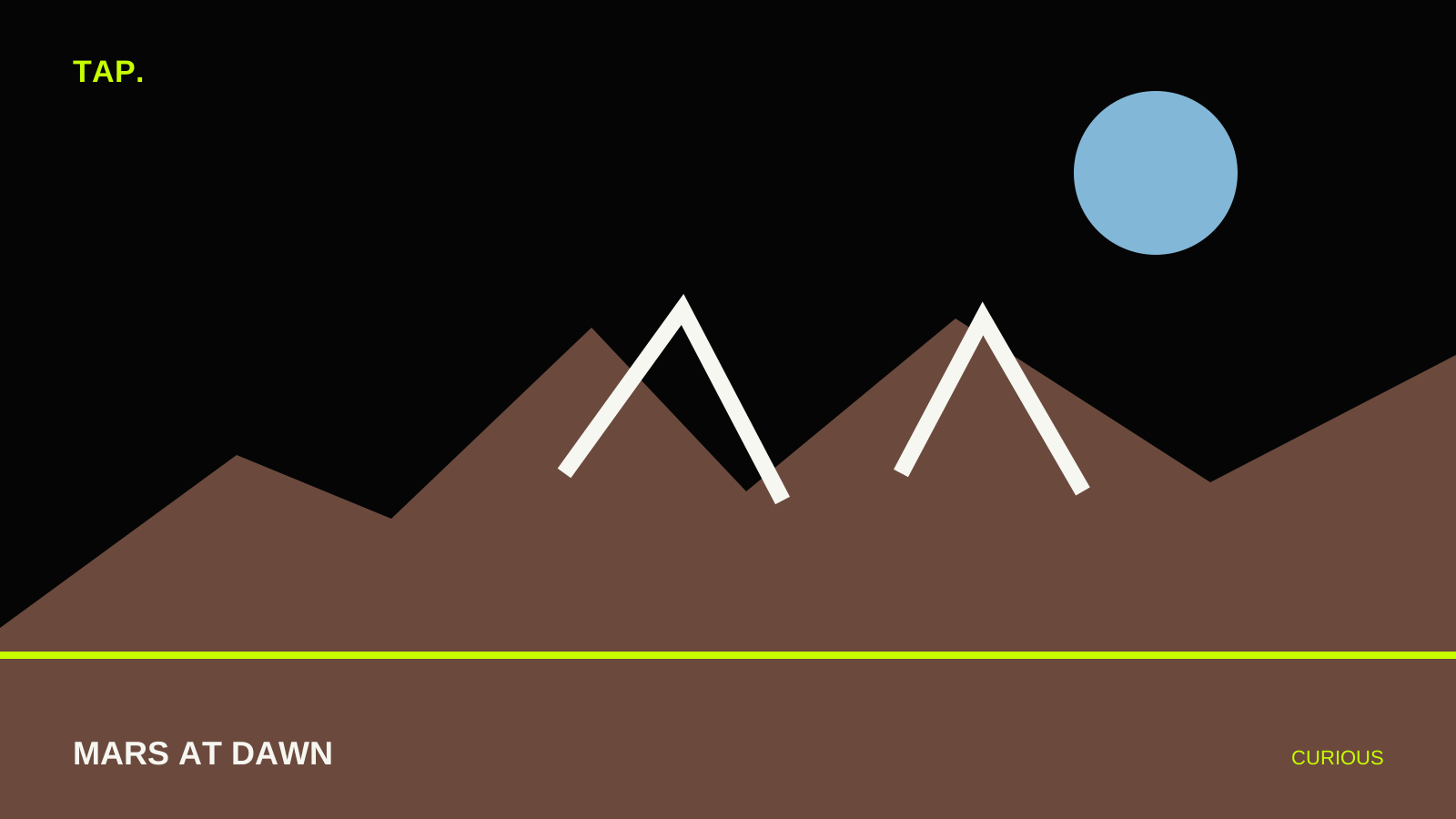
Fig. — A sunrise, a geological gap and a destination years in the making.
NASA’s Curiosity rover has spent more than a decade turning Mars from a distant red dot into a landscape with roads, ridges, mudstones and horizons.
Its latest panorama adds something unexpectedly familiar: dawn.
The image was taken around 8:30 a.m. local Mars time and preserves the early-morning color instead of using the white balancing applied to many rover images. The foreground carries cool blue tones while the sky remains distinctly Martian.
In the distance are the real target: jagged, wind-carved cliffs known as yardangs.
What are yardangs?
Yardangs are streamlined ridges sculpted by persistent wind. On Earth they form in soft rock or consolidated sediment when erosion removes weaker material and leaves long, sharp remnants behind.
Curiosity’s team believes the Martian yardang layer may have formed from wind-blown sediment or volcanic ash that hardened before billions of years of erosion shaped it.
16 km
Approximate width of the yardang layer across Mount Sharp’s northwestern reaches
Why this layer is unusually interesting
Mount Sharp is built from stacked layers that record different periods in Gale Crater’s history. Curiosity has used those layers to reconstruct a Mars that once held lakes and streams before becoming far drier.
The yardangs do not fit neatly into that layer cake.
NASA scientists say the unit appears to sit above an unconformity, a geological surface representing a gap in time where older material was eroded before younger material was deposited.
That means the cliff line may preserve evidence of a transition that is partly missing from the rocks below.
Curiosity is still driving toward it
The rover recently passed one kilometre of elevation gain since beginning its ascent of Mount Sharp, the most climbing yet achieved by a rover on Mars.
NASA hopes Curiosity will reach the base of the yardang layer in 2027. Once there, the rover can use instruments on its robotic arm to examine the chemistry and texture directly.
Why the photograph matters scientifically
A landscape image is not just scenery for a planetary geologist. Shape, layering, color and erosion patterns can reveal how material was deposited and what happened afterward.
The morning light exaggerates relief in the distant cliffs, helping researchers see forms that are harder to read under flatter illumination.
The picture is therefore both public-facing beauty and reconnaissance.
The TAP perspective is that Mars exploration often advances at walking speed. The dramatic image arrives in a second, but Curiosity has been climbing toward those cliffs for years.